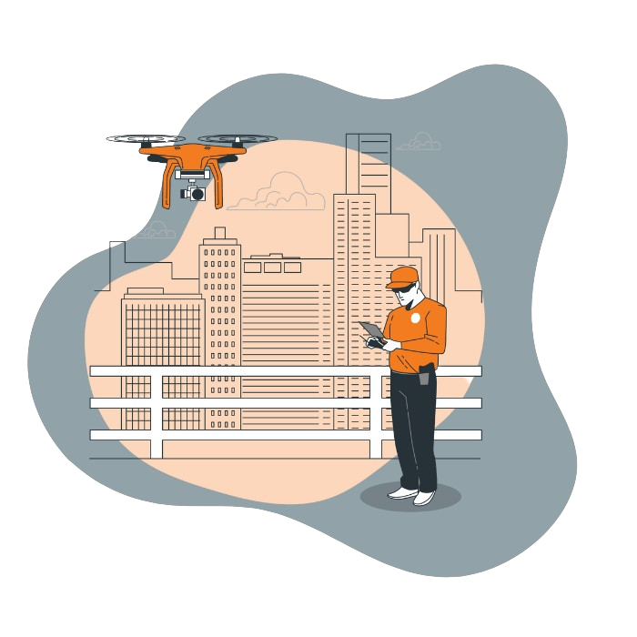
Survey & Surveillance
Survey and Surveillance drones, keeping an eagle's eye view to ensure safety and gather invaluable insights from above.
It perform tasks like aerial mapping, wildlife tracking, and security surveillance, providing valuable insights and enhancing decision-making in fields like agriculture, urban planning, and law enforcement.
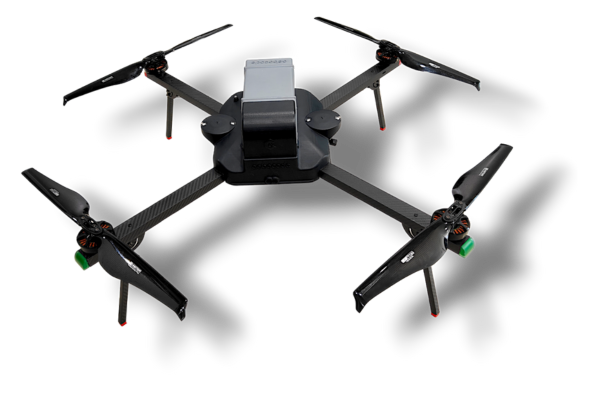
10 km
Operation Range

60 mins
Endurance

4.7 kg
Total Weight
Specifications
Fail Safe Features
- Return home on low battery
- Return home on high winds
- Return home on communication failure
GCS Application Software
- Pre-flight self-checks
- In-flight UAV health monitoring
- Live Flight Parameters
Download
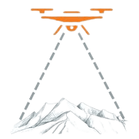
It assess disaster areas, study wildlife, enhance security, and monitor critical infrastructure. By accessing remote and hazardous locations and providing real-time situational awareness.